Tree & Terrain Mapping GmbH
High-resolution terrain and forest data
We turn remote sensing data such as airborne laser scans or aerial images into precise, ready-to-use geodata — available per hectare for download. Our focus: data that is immediately useful in forestry practice and planning. Scientifically sound, reproducible, and covering entire landscapes.
The Team

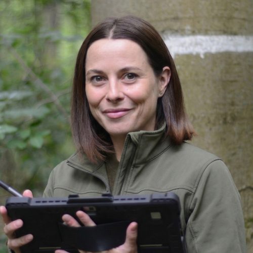
Max Freudenberg
What sets us apart
Academic roots
Born out of the university environment in Göttingen: Max Freudenberg and Tanja Kempen are both pursuing their doctorates at the University of Göttingen. Scientific rigor is simply part of how we work.
AI meets remote sensing
We have been working at the intersection of artificial intelligence and remote sensing since 2018 — peer-reviewed publications included.
Forestry expertise
We know the demands of practical forestry and speak the language of the people who use our data.
Based in Göttingen
Central in Germany and at the heart of one of its major forest science hubs.
Our products
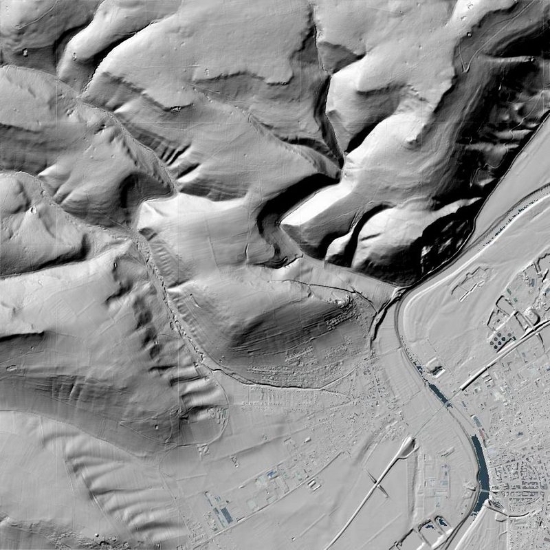
Terrain Models (DTM)
Highly detailed digital terrain models — the foundation for planning, hydrology, and forestry analyses.
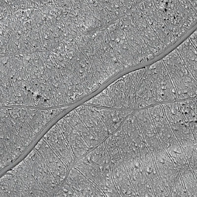
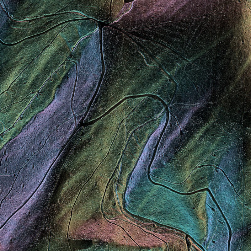
Terrain Relief Maps
Relief visualizations of fine ground structures — even in densely forested areas.
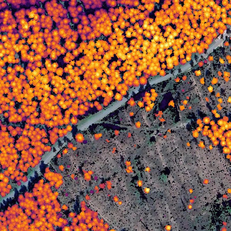
Tree Heights
Area-wide canopy height models for stand assessment, biomass estimation, and change detection.
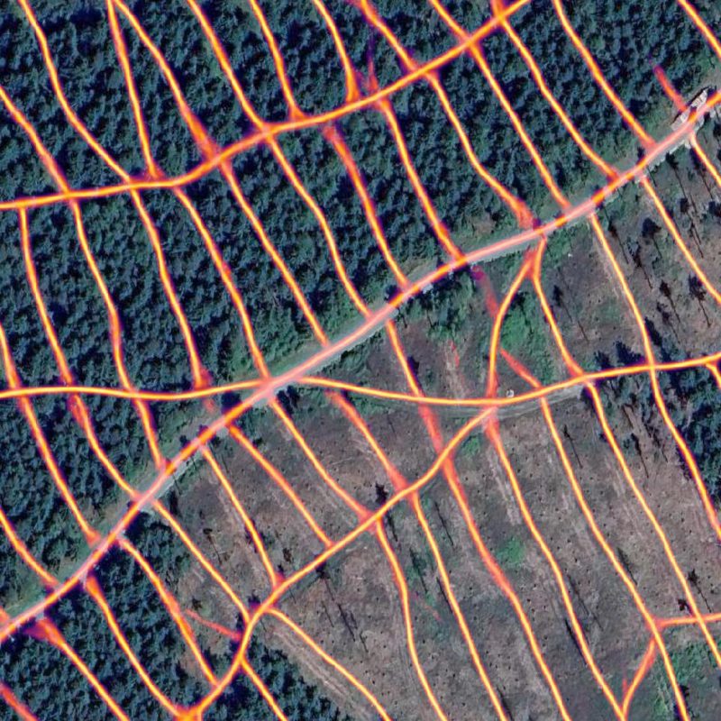
Skid Trail Maps
Detailed mapping of primary and secondary forest access — including the reactivation of existing skid trails on calamity areas.
Slope Maps
Ideal for assessing machine accessibility.
Pricing & Availability
Pricing and available regions on request — just drop us a line at info@treeandterrain.de. We'll get back to you promptly.